Implementation of software for geomechanical and geophysical modeling at the Kazakhstani mine, UD ArcelorMittal Temirtau JSC

WE ARE HERE TO SERVE YOU
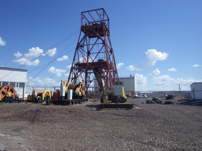
FEATURES OF OUR COMPANY
Ongoing research and innovation
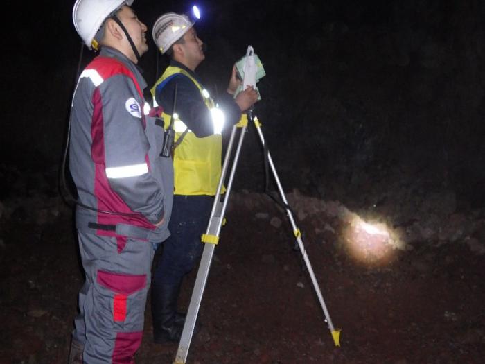
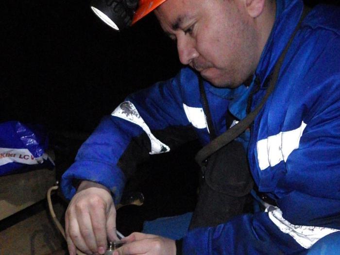
Highly qualified specialists
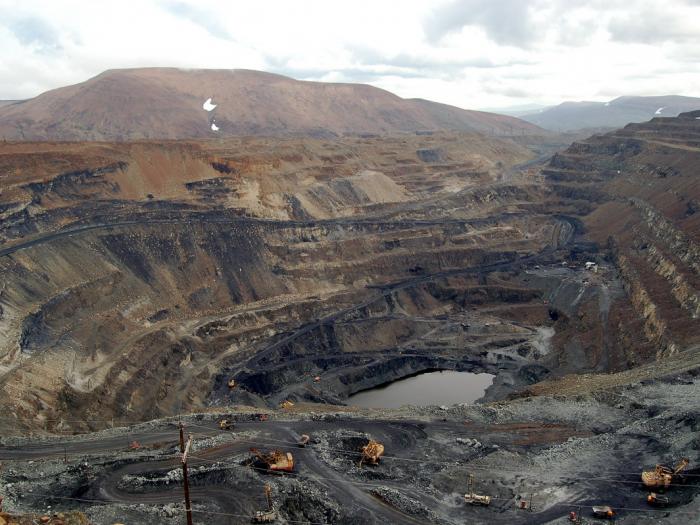
High-quality and professional approach to work of any complexity